Australia

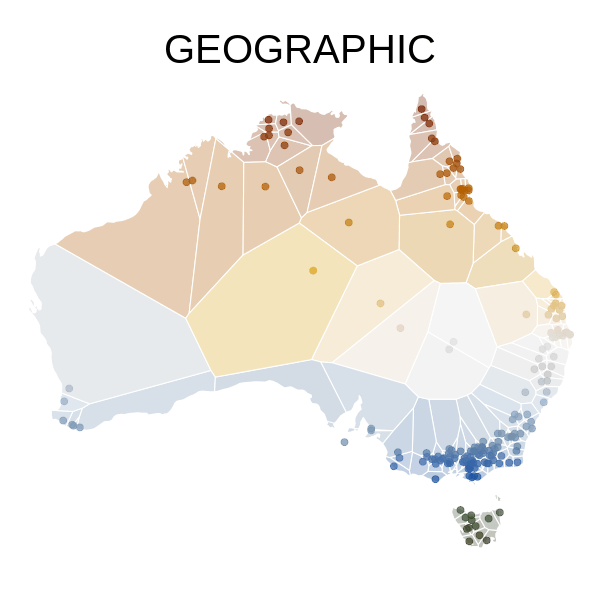
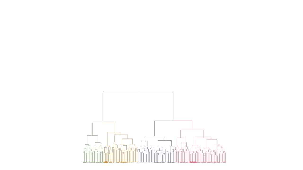
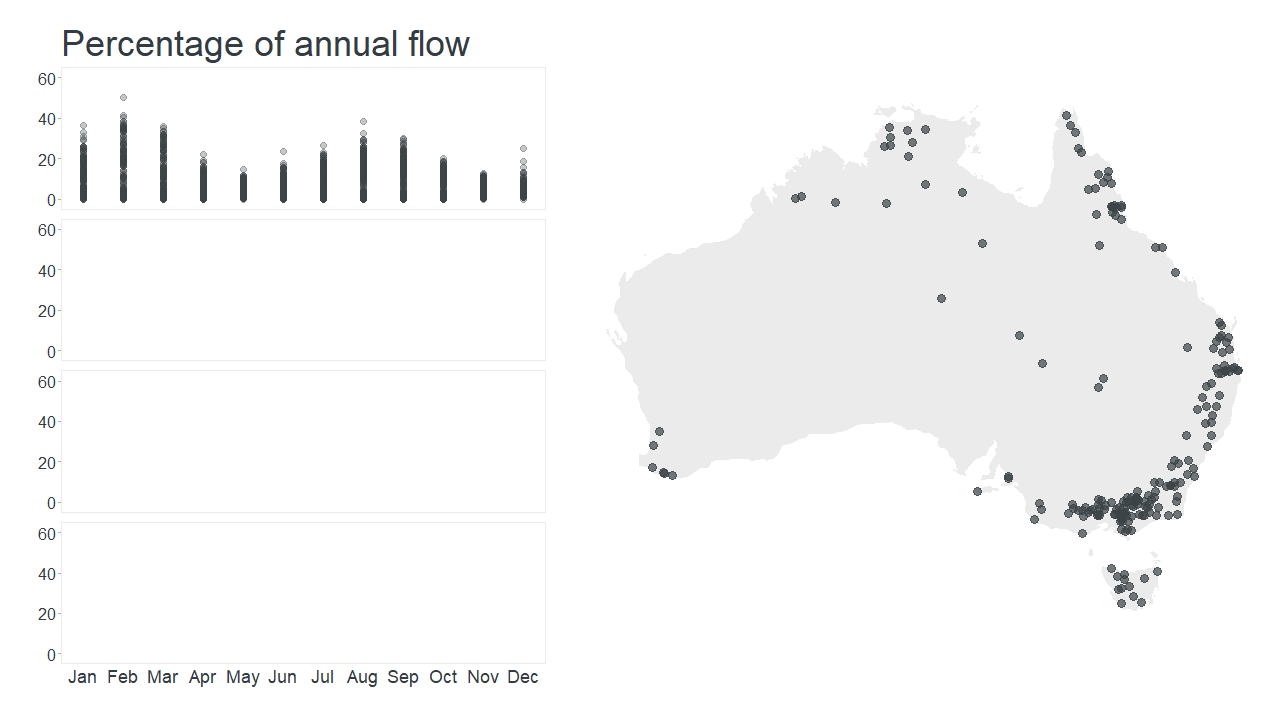
Revealing Hidden Climate Indices

In a previous post, we illustrated a widely used method called principal component analysis (PCA). This method can be used as an exploratory tool to summarise a dataset made of hundreds or thousands of time series into just a few ‘summary’ time series called principal components.

Continue reading

Transforming a distance matrix into a map

The map in the figure below shows the location of 195 hydrologic stations, which can be used to explore the hydrologic regimes of Australian rivers.

Continue reading

El NiñOz

The Pacific Ocean sometimes catches a fever in its Eastern tropical part (off the coasts between Central America and Peru): for extended periods of time, its surface waters are abnormally warm.

Continue reading

Fun with dendrograms

A dendrogram is a way to visualise objects organised in a hierarchy. It looks like a tree where: the leaves represent the objects of the dataset; the branches link similar leaves according to a given criterion.

Continue reading

How Australian rivers can be grouped into 4 main hydrologic regimes

Investigating the hydrologic regime of 195 rivers in Australia revealed three types of flow seasonality. At some stations, the wettest period occurs during one particular season (winter or summer), whereas at others, similar flows are observed all year round.

Continue reading

Exploring the hydrologic regime of 195 rivers in Australia

Plotting hydrologic regimes Most hydrologic studies start by determining the average quantity of water in rivers and how it is distributed throughout the year.

Continue reading